
Project Purpose
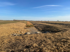
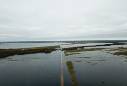
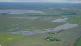
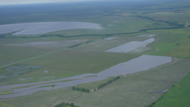
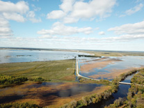
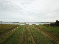
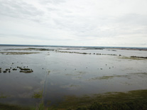
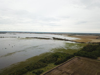
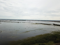
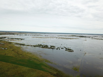
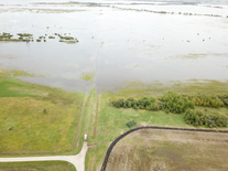
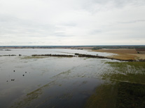
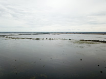
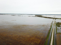
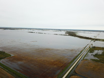
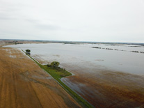
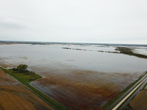
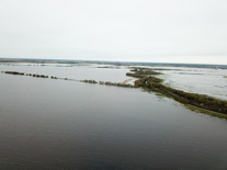
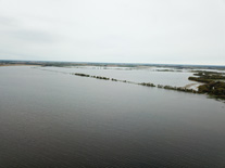
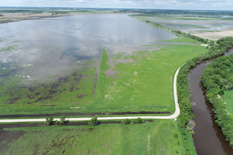
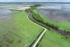
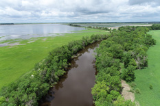
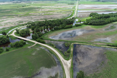
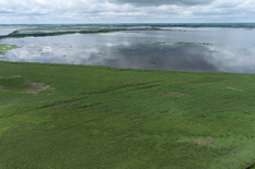
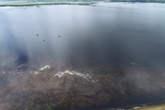
Roseau Lake is in NW Minnesota between the town of Roseau and the Canadian Border. The lake was drained in the early 1900's for agricultural purposes. Attempts to farm the lake basin have been abandoned due to frequent flooding. Currently, Roseau Lake and the surrounding lands flood on a frequency between 1-yr and 2-yrs. This frequent flooding leads to lost crops or greatly reduced yields and lost waterfowl production.
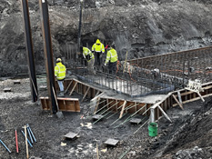
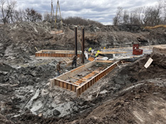
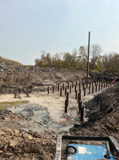
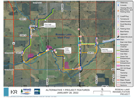
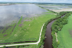
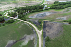
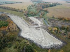
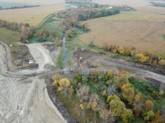
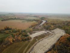
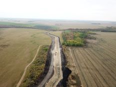
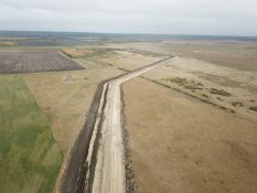
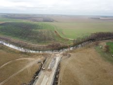
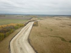
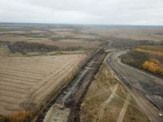
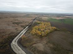
The stated purpose of the project is flood damage reduction & improved habitat for waterfowl, fish and other wildlife. This will be achieved with the construction of embankments and control structures along the Roseau River to better time the flood storage in the Roseau Lake basin.
Quick Facts
- Roseau Lake is a flood-prone basin that was ditched and drained in the early 1900's to encourage settlement.
- Roseau Lake Basin is inundated every year to some level, and close to every other year to a level above elevation 1033', which causes agricultural flooding and sluggish drainage for areas adjacent and south of the Project area. In the last 10 years, Roseau Lake has exceeded 1033' (~1,800 cfs) 4 times after May 15. Roseau Lake exceeded 1037' Fall 2019, flooding much of the adjacent farmland's unharvested crops. Baseline elevation for flood impact to private land has be stated by landowners to be 1031.5'. In the last 20 years (2000-2020) the Roseau Lake Basin has been inundated to 1031.5' 25 times according to the USGS gage at Ross, MN. Those events break down by time of year as follows: Spring – 11, Early Summer – 10, late Summer – 3, and Early Winter- 1.
- The Proposed Project will help reduce the depth and duration of the frequent floods.
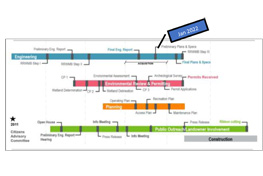
- The project development process used is outlined in the Red River Mediation Agreement and utilized a Project Team, which included area landowners, to develop the alternatives for consideration. The Roseau River Watershed District is also following Minnesota Statute 103D requirements.
- All land acquired for this project by the Watershed District has been from willing landowners.
- The Watershed District has met with landowners on several occasions to discuss project details specific to their property. Additionally, there have been over 20 Project Team meetings, 3 project open house events, newsletter mailings, newspaper articles, radio interviews, and 2 public hearings.
- Over 6000 acres of public land will be utilized for an estimated 20,000 acre-feet of gated flood water storage.
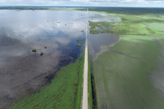
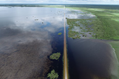
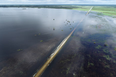
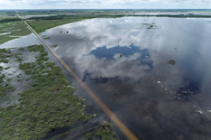
- A major infrastructure improvement to County Road 123 will be made by raising the road to elevation 1036' (currently approximately 1031') improving access for landowners, emergency services, bus and mail routes.
Project Proposers
- Minnesota Dept. of Natural Resources
- Roseau River Watershed District
Funding Partners
- Red River Watershed Management Board
- Lessard Sams Outdoor Heritage Council
- State of Minnesota Flood Damage Reduction Program
- Local Match Funds
2016 Gallery

2020 Gallery
2023 Gallery
2024 Gallery